
Missoula County is one of the original nine counties of Montana Territory. In 1864, when Montana Territory was created by dividing Idaho Territory, Missoula County covered most of the land west of the Continental Divide. Today, seven counties have been formed from the original Missoula County.
 The Missoula County Court House
The city of Missoula sits in a natural bowl, geologically the bottom of Glacial Lake Missoula. If you know where to look, you can see the shoreline still visible on the hills that surround the city. I knew that the lake was large, but reading about it in preparation to writing this blog, I learned that it was larger than two of the Great Lakes (Erie and Ontario) combined. That's a lot of water.
Today, Missoula is known as the hub of five valleys. The Clark Fork River flows in from the east through the Hellgate Canyon. Just east of town, the Blackfoot (sometimes called the Big Blackfoot) River flows into the Clark Fork. If you've read Norman Maclean's book A River Runs Through It, most of the fly-fishing took place on the Blackfoot. If you saw the Robert Redford movie, the part of the Blackfoot was played by the Yellowstone, another important Montana River. In town, Rattlesnake Creek flows into the river, and there is a sign marking the spot where Lewis (of the Lewis and Clark Expedition) camped on July 4, 1806. On the west side of town, the Clark Fork and the Bitterroot Rivers merge, and together, a much larger river flows west out of town, out of the county, and eventually out of the state. The Clark Fork is one branch of the mighty Columbia River, and it carries the largest amount of water out of Montana, more even than the Missouri.
I once heard an NPR commentator refer to Missoula as the largest U.S. city completely surrounded by the Rocky Mountains. There is no place in town where you can stand, look at the horizon, and not see the mountains rising before you.
 View of Lolo Peak from Stephens Avenue, Missoula
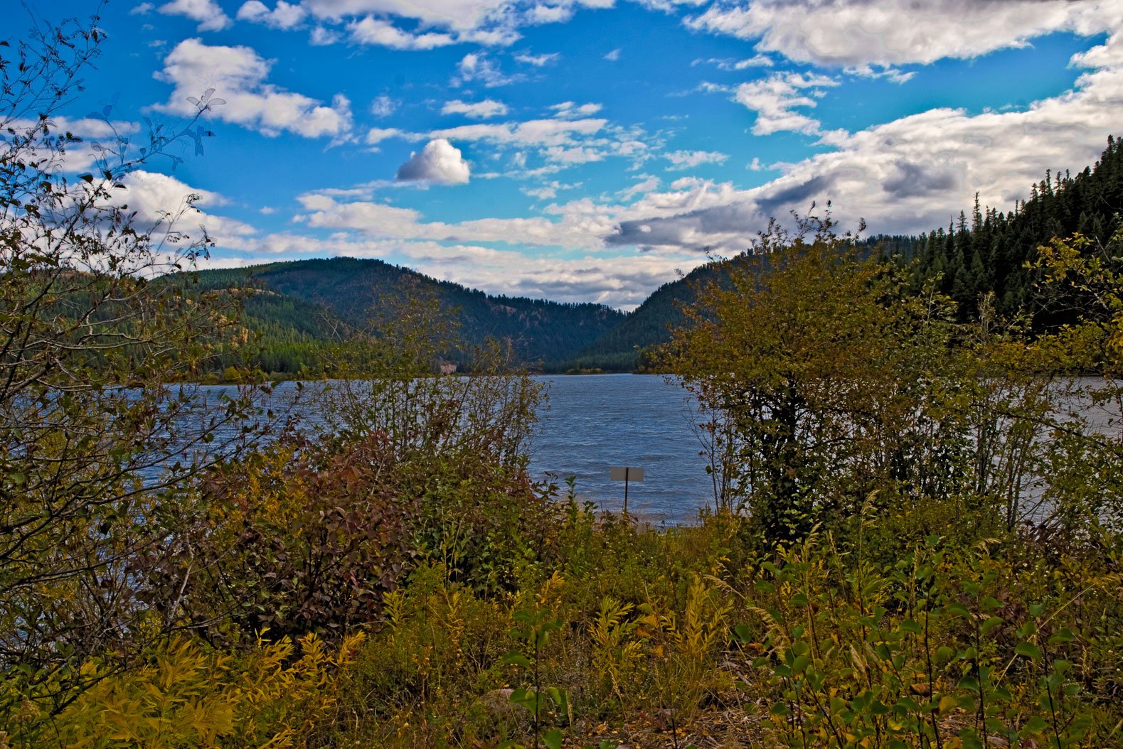 Salmon Lake in the Seeley/Swan Valley
For those of you who, like me, like data, Missoula County today covers 2,598 square miles, and with the 2000 US census count of 95,799 county residents, that meant 36.9 people per square mile. The 2008 census estimate showed 107,320 people living in the county, which puts Missoula County in second place after Yellowstone County. The two are the only Montana counties to have over 100,000 inhabitants.
Missoula is the home of The University of Montana, Region 1 of the U.S. Forest Service, and me. I moved to Missoula in 1975, and it's been home ever since. In fact, if mother's obstetrician had had his way, I would have been born in Missoula, but father had been transferred to near Billings, and mother insisted on going with him. Go figure. You can get more information on Missoula County and the City of Missoula by clicking on the links. Unlike Butte/Silver Bow, and Anaconda/Deer Lodge, Missoula city and county voters have turned down consolidation each time it has appeared on the ballot. Under Montana law, such issues must be revisited every ten years.
Photo Information:
Note that clicking on any photo will open it in a larger format and in a new window.
Missoula County Sign: Taken 3/26/2010 at the Missoula/Powell County line on Montana Highway 200. Nikon D80 DSLR, Nikkor 16-85 mm wide angle/tele/zoom lens set at 45 mm. ISO 800, f /16.0, 1/4 second.
Missoula County Court House: Taken 3/6/2010 in Missoula, Montana. Nikon D80 DSLR, Nikkor 16-85 mm wide angle/tele/zoom lens set at 18 mm. ISO 125, f /11.0, 1/500 second.
Lolo Peak from Stephens Avenue: Taken 11/15/2009 in Missoula, Montana. Nikon D80 DSLR, Nikkor 16-85 mm wide angle/tele/zoom lens set at 85 mm. ISO 800, f /9.5, 1/1500 second.
Salmon Lake HDR: Taken 10/2/2009 at Salmon Lake, Missoula County, Montana. Nikon D80 DSLR, Nikkor 16-85 mm wide angle/tele/zoom lens set at 25 mm. ISO 125, f /13.0, three separate exposures blended as an HDR image.
View of the Bob Marshall Wilderness: Taken 12/27/09 using a Nikon D80 DSLR fitted with a Nikkor 16-85 mm tele/zoom lens set at 85mm. This is a true HDR image processed in Photoshop CS4 with an ISO 125, f /16.0, and three consecutive exposures of 1/60, 1/250 and 1/1000 second. Camera was mounted on a tripod.
 View across the Seeley Lake Valley at the peaks of the Bob Marshall Wilderness
No comments:
Post a Comment