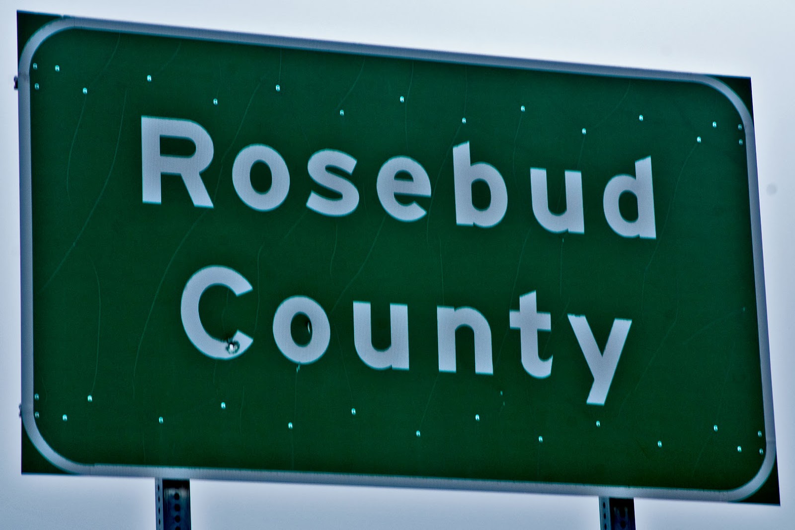
Rosebud County, located in southeastern Montana, was formed
in 1901 with land taken from Custer County (#14). The county takes its name from Rosebud Creek
which flows north out of Big Horn County (#22) to merge with the Yellowstone
River near the town of Rosebud, approximately ten miles east of Forsyth, the
Rosebud County seat. Shaped like an inverted capital L, the County has a
total area of 5,027 square miles of which 15 square miles are water. As of the 2010 U.S. Census, 9,233 people
called Rosebud County home, of whom 1,777 lived in Forsyth.
Forsyth was founded in 1876 as a steamboat landing on the
Yellowstone River, designed to help supply the cavalry forces involved in the
Indian Wars of that period. The city
grew up as a transportation hub when the Northern Pacific Railroad supplanted the
Yellowstone River steamboats, and now U.S. Interstate 94 runs along the
southern edge of the town, following the historic Yellowstone Trail. William Clark and his crew camped in this
area on their way home in 1806, and General George Armstrong Custer camped near
here on his way to his final destination at the Battle of the Little Big Horn
in 1876. Travelers today will find
modern accommodations as well as a few camp sites, should they wish to spend
the night.

The Rosebud County Court House
Forsyth, Montana
The Rosebud County Court House sits in the middle of an
otherwise empty block in the center of town, and the grounds surrounding the
Court House are planted in, what else, roses.
The construction of this edifice caused quite a bit of scandal as the
County Commissioners decided they wanted some enhancements to the building
after the bids had been let. As Don
Spritzer puts it, writing in his Roadside
History of Montana:
In 1913 at the height of the homestead boom, the people of Rosebud County erected one of Montana’s most beautiful courthouses. The Neo-classical-style building—with its copper dome—also became the center of a scandal that ended in the indictment of two county commissioners. … When Judge Charles Crum convened a grand jury to investigate the affair, he ordered the sheriff to take possession of the new building. But the construction company foreman and the county’s building superintendent held the building’s keys and refused to turn them over to the sheriff. The foreman hid inside the building behind locked doors. pp 371-372

Old Highway 39 Bridge
North of Colstrip, Montana
The town of Colstrip, thirty-five miles south of Forsyth, is
the only other incorporated city in the county.
The largest city in the county (2010 population 2,214), Colstrip was
founded by the Northern Pacific Railroad as a coal mining center supplying the
railroad with fuel for their steam locomotives.
The Colstrip mine was the first open-pit mine in the U.S. to be completely
electrified. Don Spritzer says:
The gigantic dragline shovel could remove up to seven tons of coal or overburden in each bite. The railroad soon found that mines here could produce more than five times the amount of coal per shift as its old underground mines. p 381
The railroad built Colstrip as a company town with barracks,
houses, a mess hall, and recreational facilities. During World War II, the town was considered
so vital to the U.S. war effort, that the mines received federal
protection. When the railroad adopted
diesel-electric locomotion, the mines closed and the town all but died. Then almost a decade later, the Montana Power
Company decided that Colstrip coal would be a good source of electricity, and
built two coal fired generator plants.
With the country facing energy problems in the early 1970s, Colstrip
became an important center again. From a
1968 population of 100, the town swelled with a new energy boom and by 1982,
some 7,500 people lived in Colstrip. Since
then, the population has declined significantly, but at present seems fairly
stable.

Tepee Rocks
South of Colstrip, Montana Highway 39 crosses into the
Northern Cheyenne Indian Reservation.
Native Americans form the second largest ethnic group in Rosebud County,
accounting for 34% of the county’s population.
The tribal headquarters is at Lame Deer, Montana, the second largest
community in the county and home to the tribally run community college, Chief Dull
Knife College. Between Colstrip and Lame
Deer, travelers on Montana Highway 39 pass the Deer Medicine Rocks, a
collection of eroded limestone formations where Sitting Bull received his
medicine vision foretelling the victory of the Sioux over the U.S. Cavalry at Little
Big Horn. The Deer Medicine Rocks are on
private property, which I was privileged to visit thanks to the intercession of
retired Colstrip High School art teacher, Gisela Schneider.
The Northern Pacific Railroad may have been instrumental in
the building of Forsyth and Colstrip, but a competitor reached the area in
1907. The Milwaukee Road built their
line north of the Yellowstone River, and then headed northwest toward Roundup, Harlowton, and eventually the Pacific Coast. The Milwaukee ran a strong campaign to bring
in homesteaders, and three towns grew up in northwestern Rosebud County. This was not good homesteading country, and
years of drought preceding the great dust bowl days drove most of the new
settlers out. Today the boarded up
Vananda School stands as a silent reminder that once upon a time this empty
land produced enough children to warrant such a grand structure.

The Vananda School
City-data.com shows that employment by a private company far
and away outpaces all other classes of employment in Rosebud County. As far as industry is concerned, agriculture
and mining are almost even with each accounting for fifteen percent of the
total. Utility workers and educators are
a close third and fourth at thirteen and twelve percent respectively. In Rosebud County, all four of these “industries”
employ far more males than the state average.
For women, twenty-six percent are employed as educators, twice the state
average, and twice the figure for women employed in the health care field, the
next largest area of employment for women.
The average farm in Rosebud County covers 6,167 acres and brings in
$102,583 in sales per year. Over eighty-one percent of farm sales come from
livestock, rather than crops.